New meanings: Changes to the complex in the 1950s and 1960s

The 1954 German Base Map shows a garden centre in the area between the villa garden and the park. It was presumably established in the 1950s at the latest. The garden centre extends across the central part of the entire complex; fences running perpendicular to the axis of symmetry disrupt the historical layout. The establishment of the garden centre wurde die cemented the separation between the villa's garden and the park.
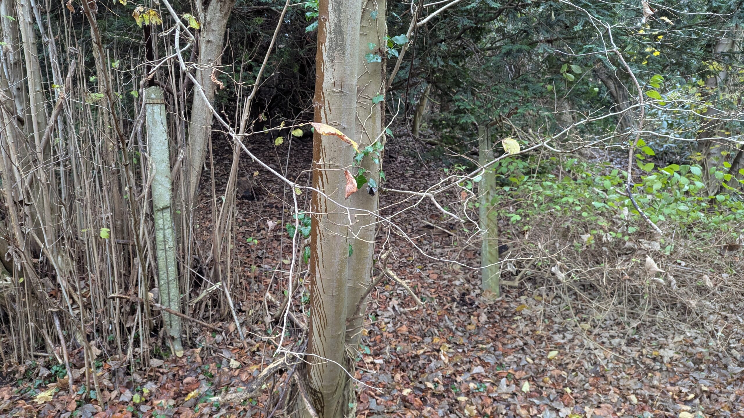
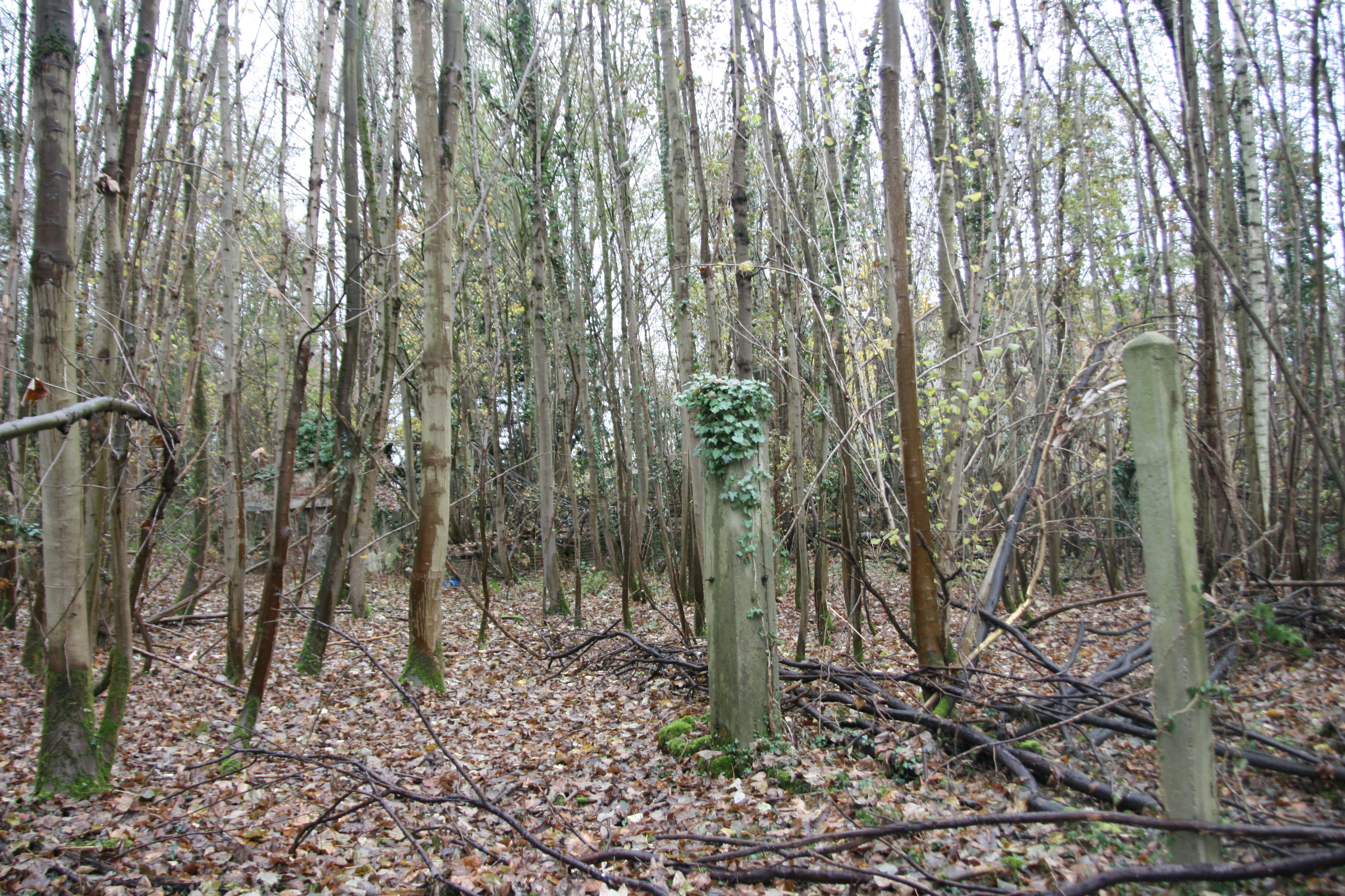
Today, there are many remnants of fences in the area of the former nursery, such as concrete bases, steel posts and concrete pillars. Their positions correspond to the fences marked on the 1954 German Base Map. The garden nursery was explicitly separated from the park by the fences.Only the remains of a gateway indicate that the park could also be accessed via the garden nursery. Otherwise, the park and the garden nursery operated as separate entities.
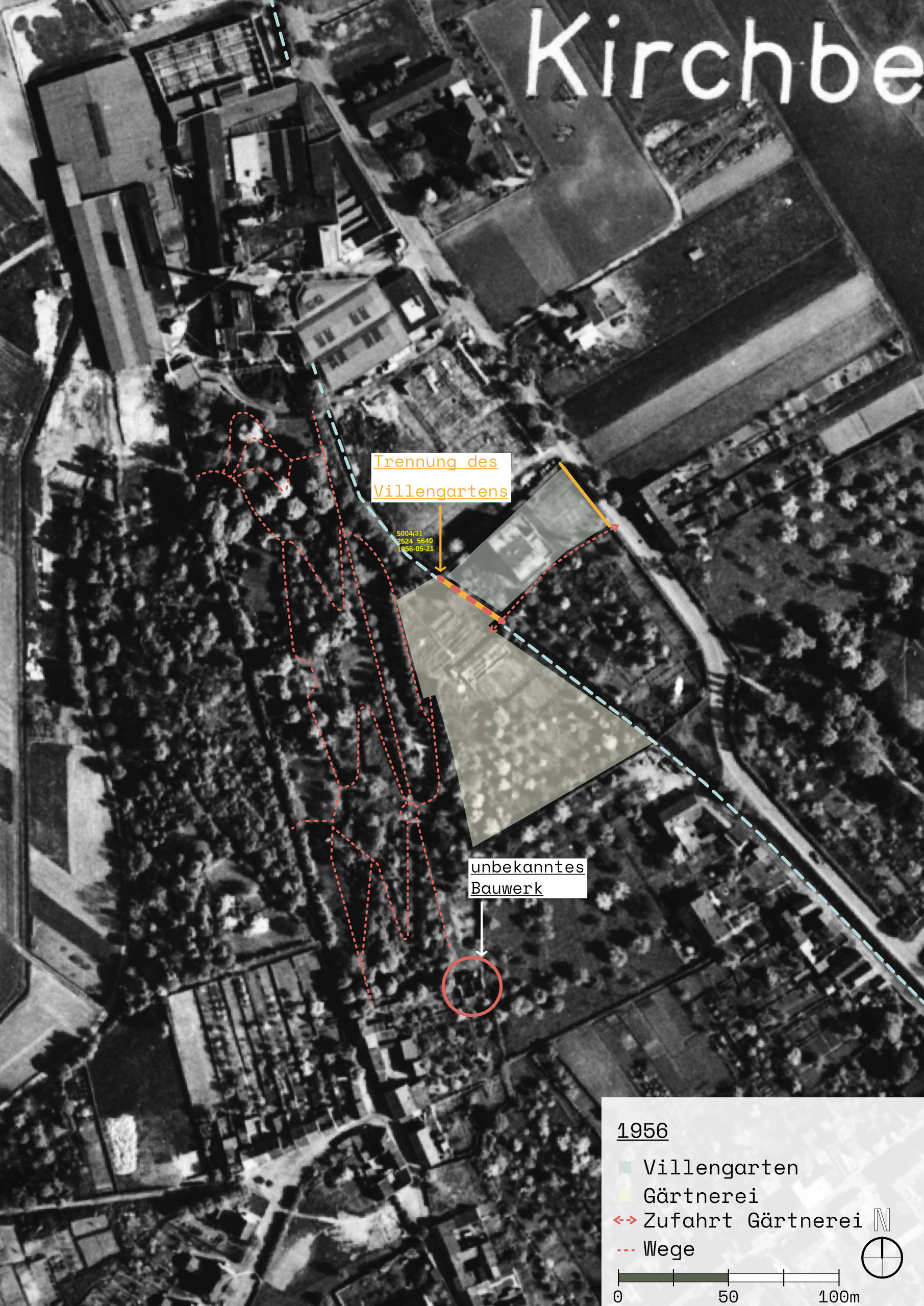
It is likely that the opening in the wall separating the villa’s garden was bricked up to make way for the establishment of the nursery, and that at the same time the side passageway – which still exists today – leading from Wymarstraße to the nursery, complete with its gateways, was created. This is shown on the 1954 German Base Map: the garden wall separates the garden and leaves an opening only at the point where the access road runs past the villa and on to the nursery.
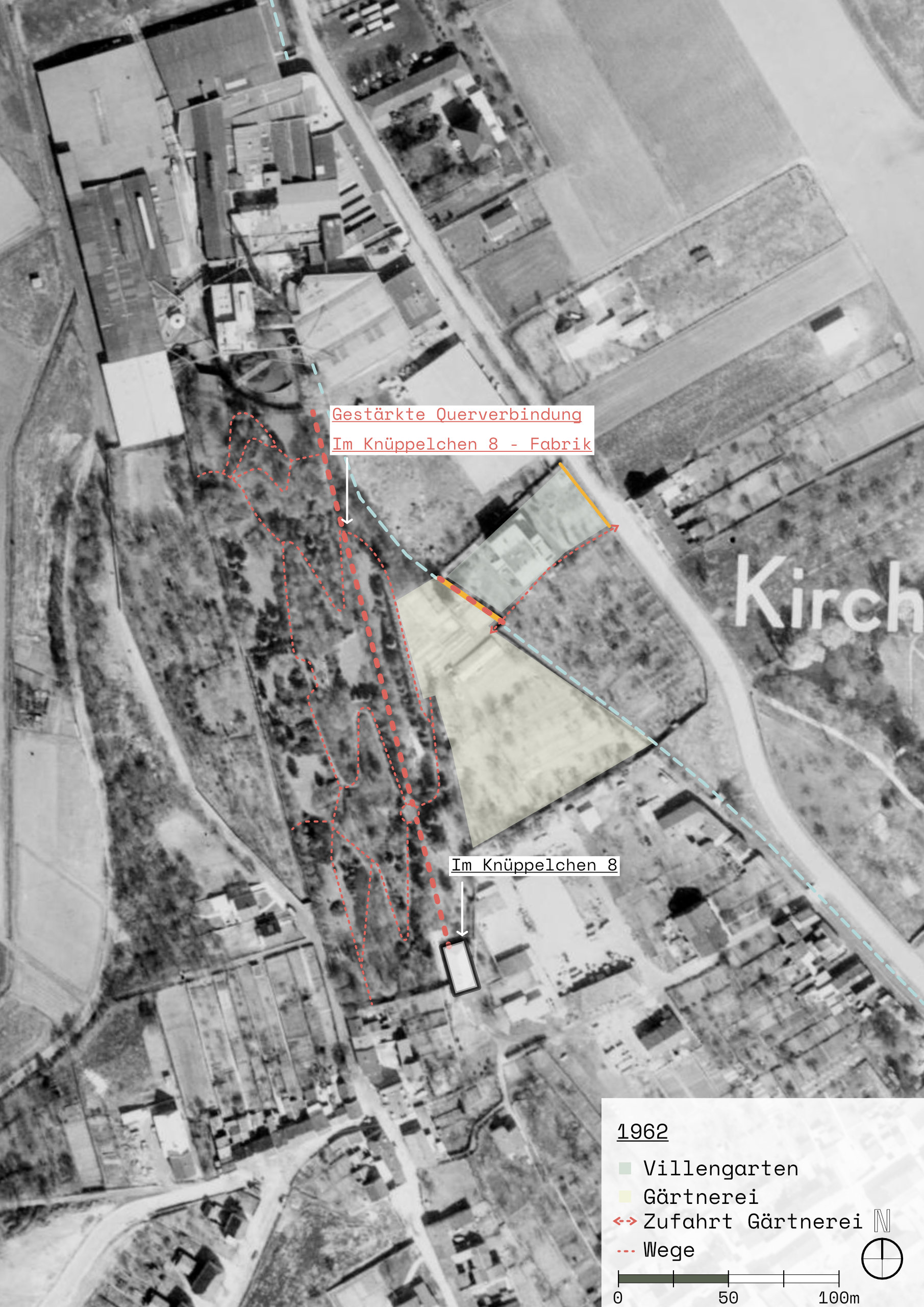
With the construction of the house Knüppelchen 8 between 1956 and 1962, the connection running perpendicular to the axis of symmetryA path connects the house’s private park entrance directly to the factory grounds; this direct route requires no change in elevation. Consequently, the original logic of the park was completely transformed at that time: the villa (see also the villa in the post-war years), the nursery and the new ensemble comprising the park, the new residential building at Im Knüppelchen 8 and the factory each functioned as independent entities alongside one another, their connections having been almost entirely severed.
Furthermore, a comparison of the aerial photographs from 1956 and 1962 shows that a building had already stood on the site of the house at Im Knüppelchen 8. It has not yet been possible to determine exactly what that building was. What is certain, however, is that there must always have been access to the park from this spot.
[1] Stadt Jülich, Stetternich, Kirchberg, Altenburg, Selgersdorf, Daubenrath: angefertigt aus 17 Blattausschnitten der Deutschen Grundkarte, Grundriß 1:5000. Stadtarchiv Jülich, D-46, 1954.
[2] Hansa Luftbild AG, historisches Ortophoto 1956. Zugriff am: 5. Januar 2026. [Online]. Verfügbar unter: https://www.tim-online.nrw.de/tim-online2/
[3] Hansa Luftbild, (10832) Kirchberg, Gauß-Krüger-Koordinaten: Rechtswert: 2524, Hochwert: 5640, Luftbild Kirchberg 1962. Zugriff am: 5. Januar 2026. [Online]. Verfügbar unter: https://dfg-viewer.de/show/?tx_dlf[id]=https%3A%2F%2Fwww.landesarchiv-nrw.de%2Fdigitalisate%2FAbt_Rheinland%2FRW_0230%2F%7E108%2F10832%2Fmets.xml