About the historical layout of the park
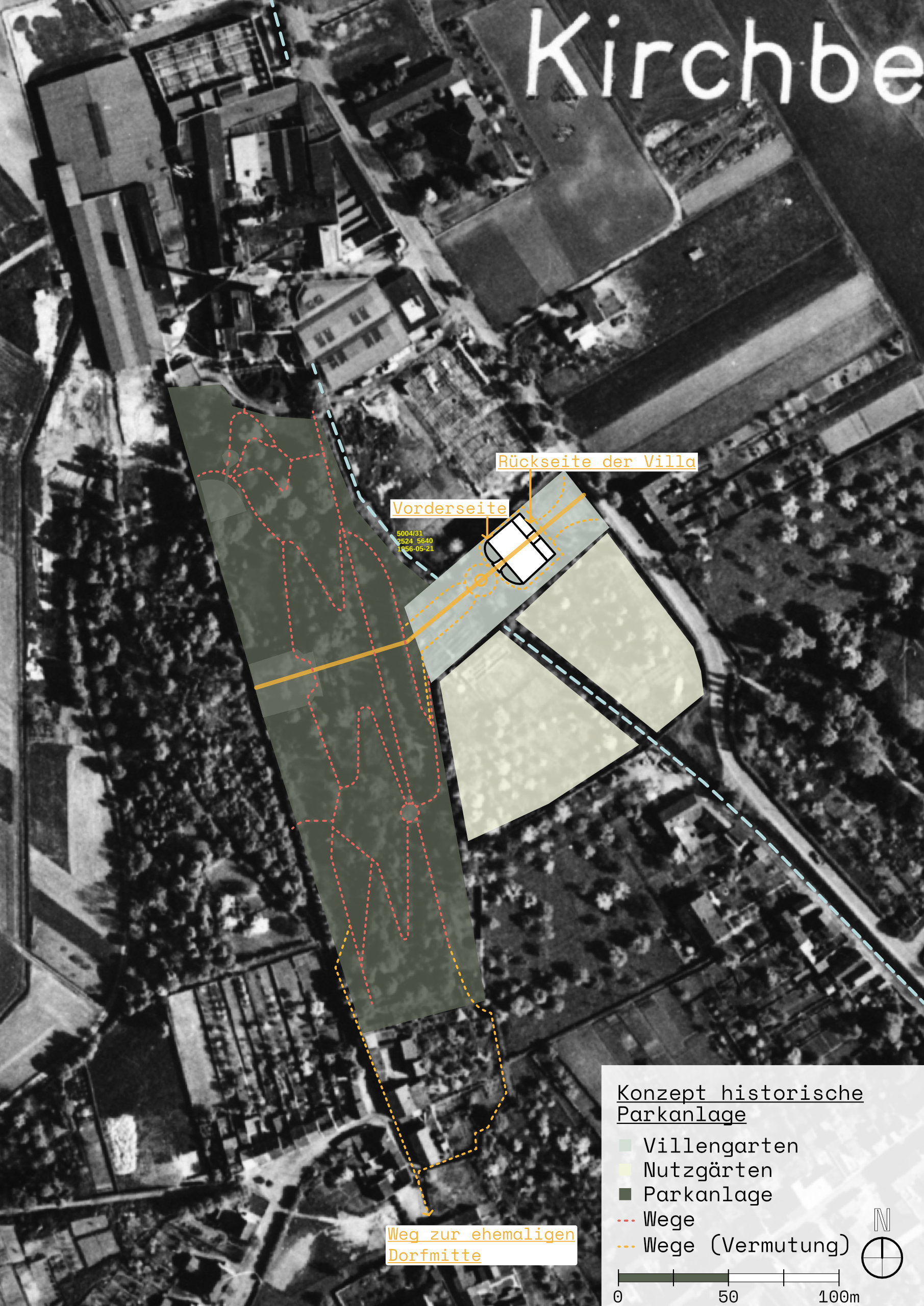
The historic grounds surrounding Villa Buth follow broader, overarching design principles which are still evident today, even though parts of the grounds have changed significantly. Broadly speaking, the entire complex can be divided into three zones: the villa garden, the park and the kitchen gardens. The villa, the villa garden and the park are laid out along a central axis of symmetry. For example, the paths in the park are predominantly laid out in a symmetrical pattern along this axis.
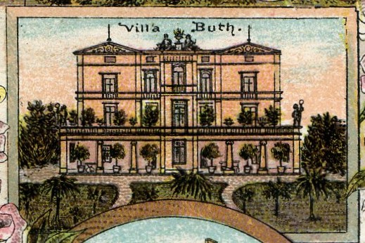
The villa’s garden presumably stretched from Wymarstraße in the north-east of the villa to the foot of the hill south-west of the villa, where it joins the park. Historical postcards of Villa Buth show how the principle of axial symmetry was also applied to the villa’s garden. [2], [3] The mapwhich illustrates the historical layout of the grounds, shows a reconstruction of the presumed historical path layout in the villa’s garden.
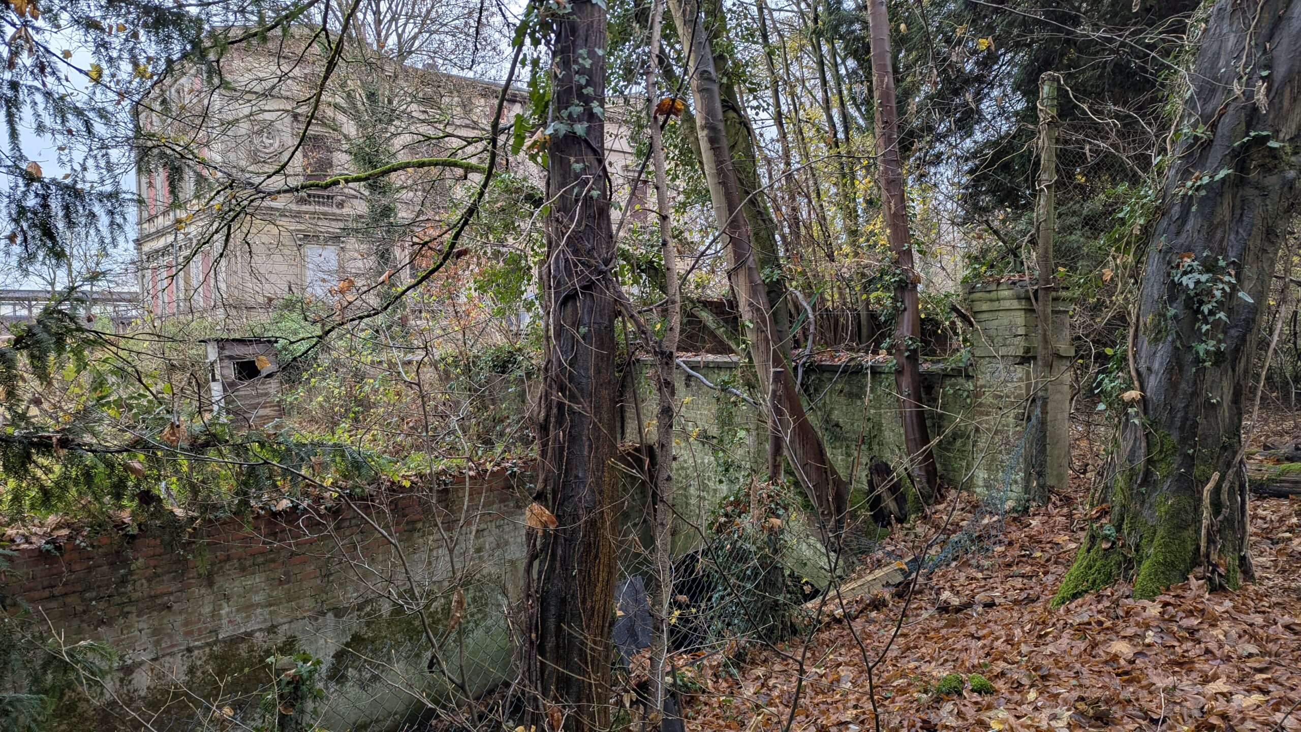
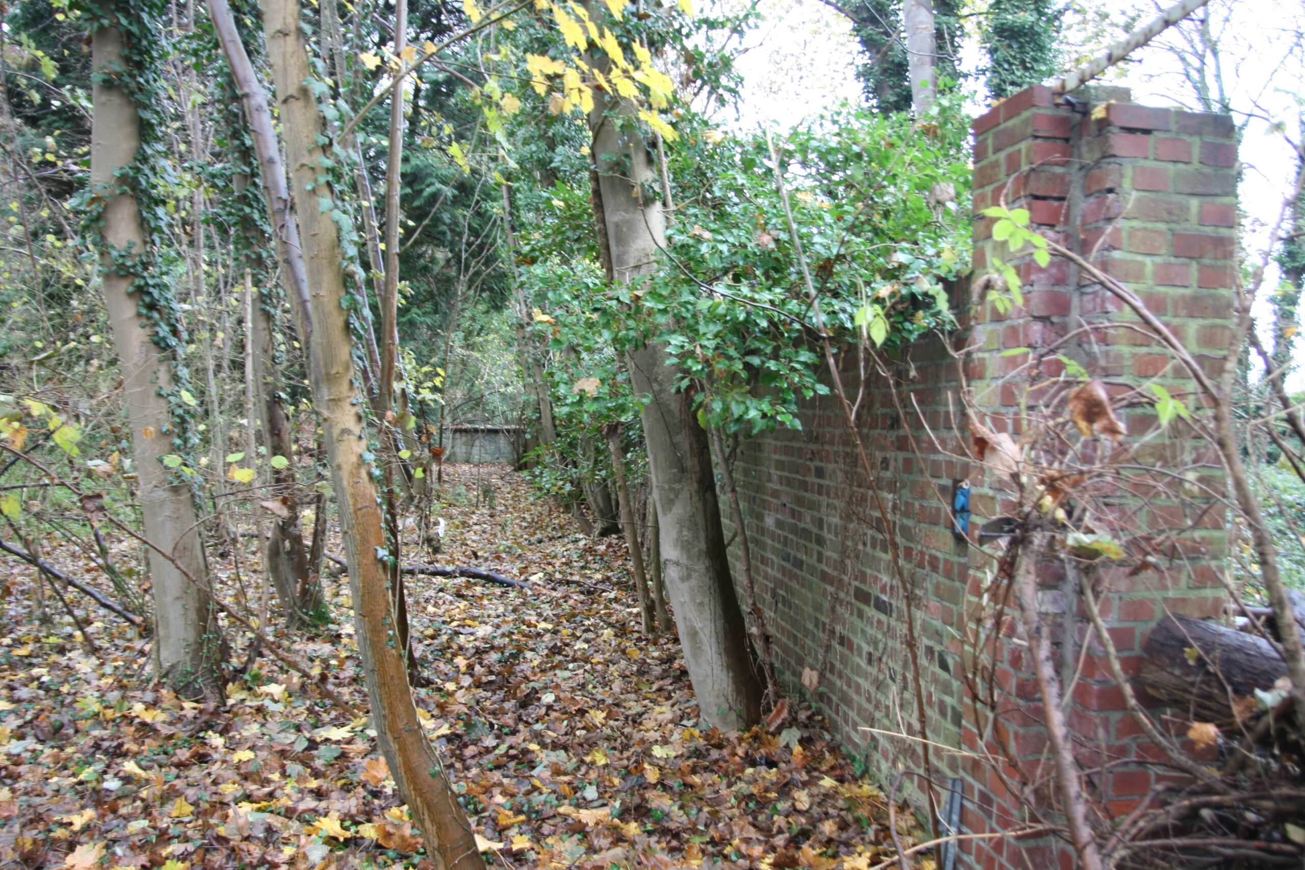
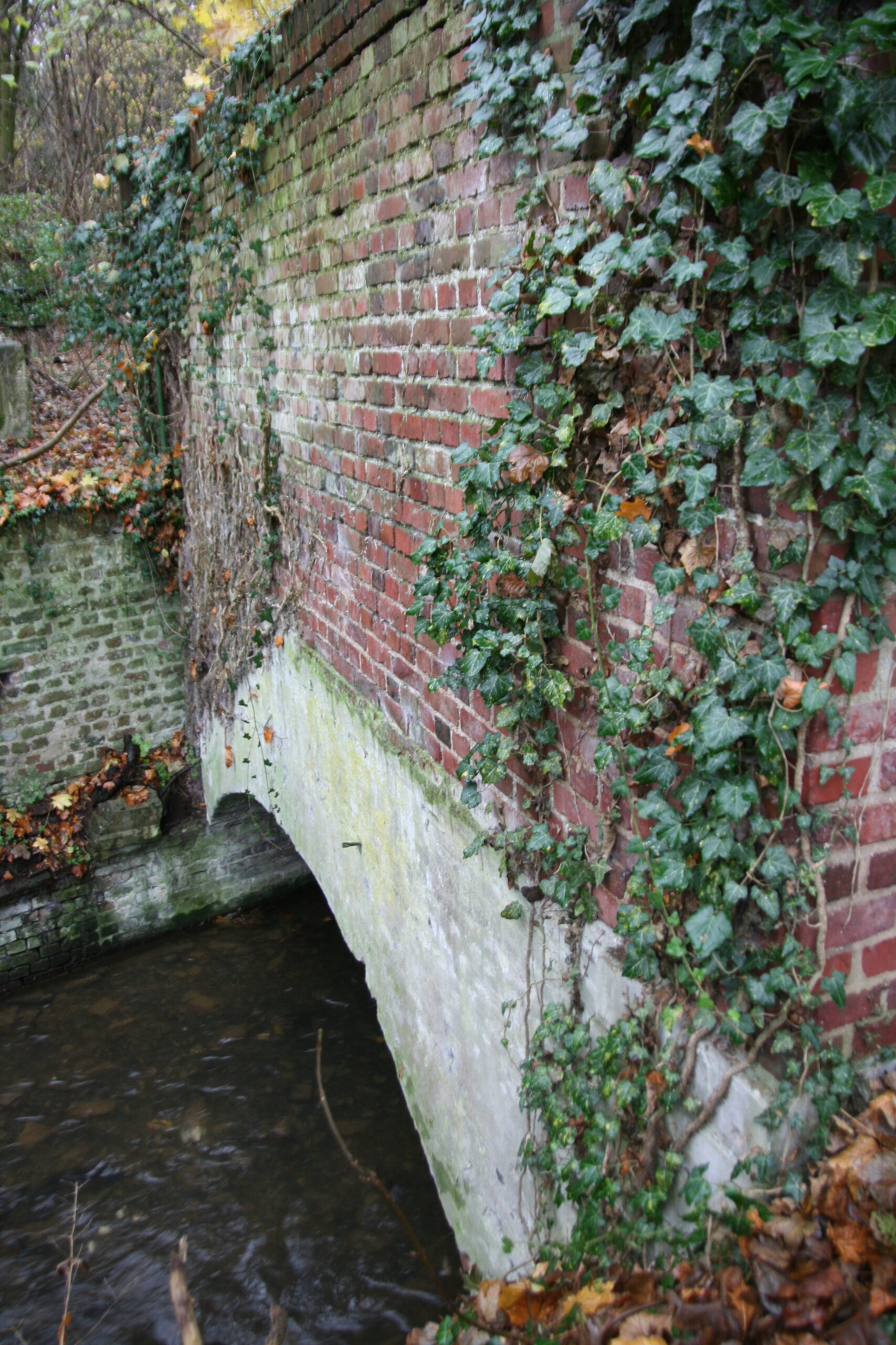
Mühlenteich was channelled across the entire width of the villa's garden. The villa’s garden thus created a seamless transition to the park. The fact that the garden acts as a transition from the villa to the park also explains why the villa is now positioned with its rear facing the road. The villa’s original front façade was directly connected to the garden via the open staircase (also see The villa as witness). The garden’s design established a direct link to the factory, the park and, consequently, the footpath leading to the former village centre. Today, the otiginal design of the wall (part of construction phase 1), which serves as a guardrail for the bridge over the mill pond, is still recognisable. Like the villa, it is designed in the Neoclassical style of the Neo-Renaissance.
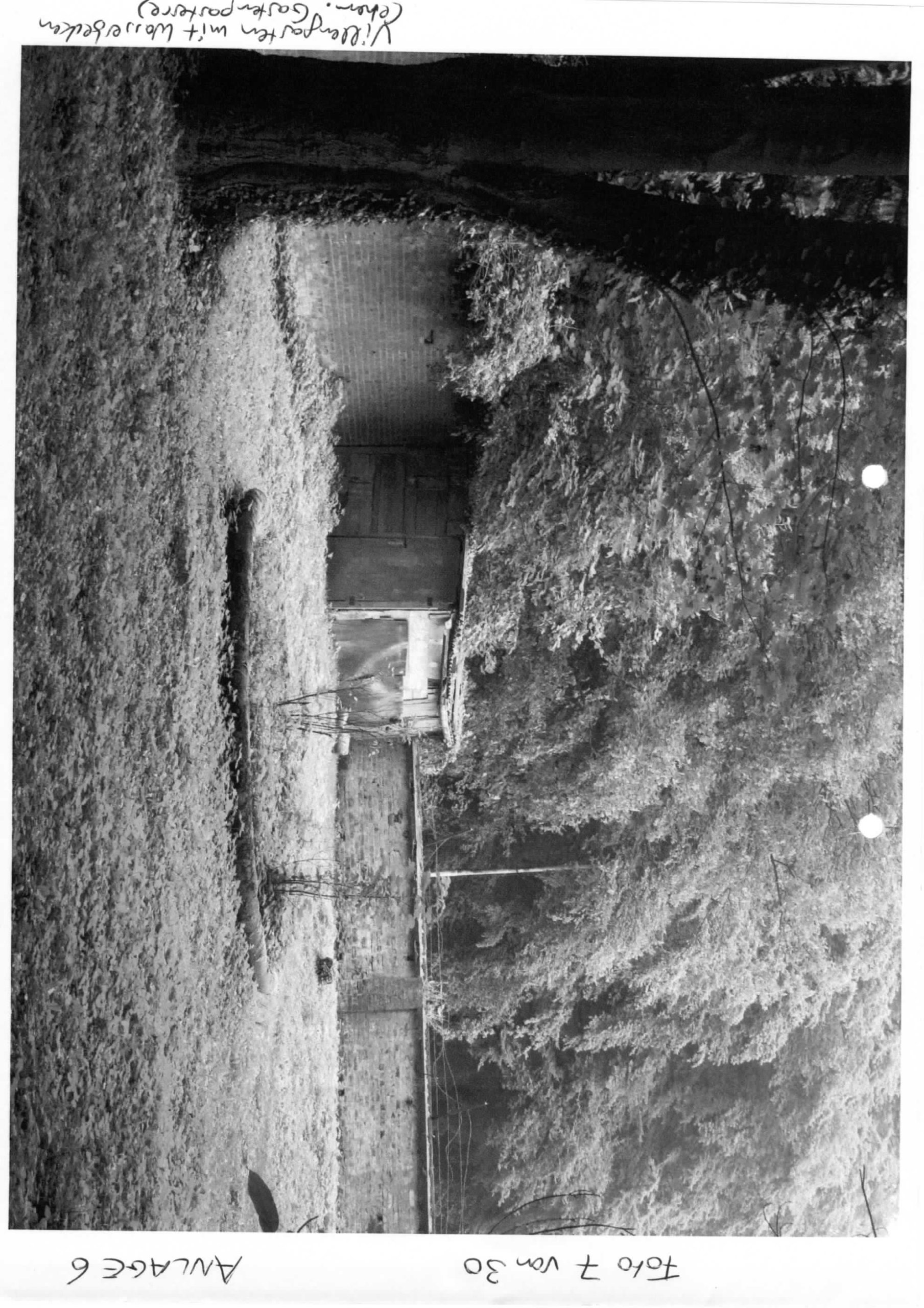
In addition to the historic balustrade by the channelled Mühlenteich, another design feature dating from the villa’s early days has been preserved in the garden. A circular flowerbed (originally thought to have been a water basin or fountain), surrounded by a moulded kerbstone made of natural stone, is situated roughly halfway between the channelled mill pond and the open staircase, on the axis of symmetry. [4, 5]
Whilst the villa garden and the park thus reflected the villa’s architectural design principles, the kitchen gardens, situated to the south-east of the villa garden, do not conform to this formal design. The fruit and vegetable gardens served to provide food for the villa’s residents. [6]
Different spatial ideas come together to form a cohesive whole
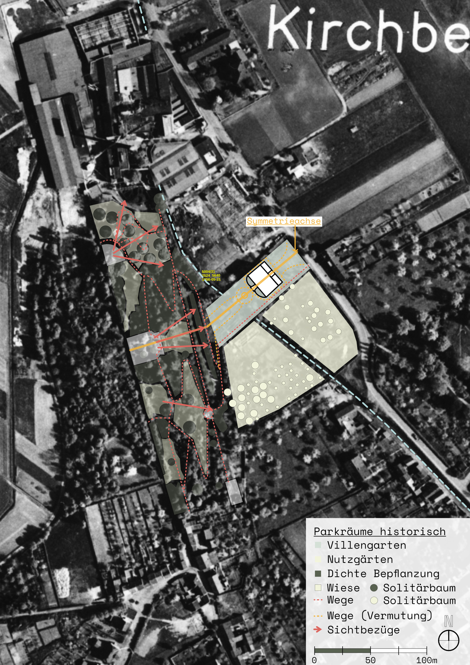
Aerial photographs from the 1950s and 1960s still show the historical layout of the park areas [1, 7]. The fundamental spatial concepts underlying the various park areas – from meadows to woods – seem to have stood the test of time, at least initially. It was designed to consist of a variety of different spaces, as is customary in English landscape gardens [6].
Areas with denser planting alternated with more open meadows, where individual large trees could display their full splendour. In areas where there were particularly large spaces kept clear of vegetation, special attention was paid to visual connections.
Elements of the park and their relationship to the overall concept
The park features small-scale architectural features that are particularly well integrated into the design concept. They form part of the overall concept, which is based on visual connections and formal design axes. Alongside the family cemetery, situated on the central axis, there is an impressive complex comprising a grotto and a music pavilion. Find out more below about the design principles behind these special park features.
family cemetery
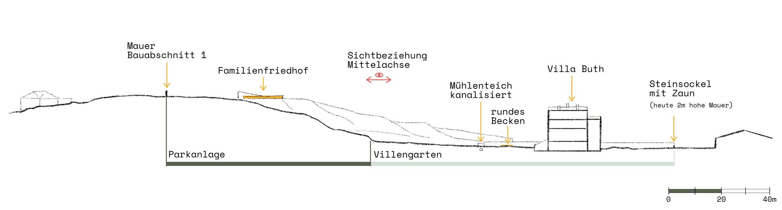
If one sections the site along the villa’s central axis, the dramatic composition along the axis of symmetry and the deliberate use of the topography become clear.
The cemetery is situated at the highest point of the axis . A clear dramatic connection to the villa was thus established along the axis of symmetry. The villa’s architecture was first reflected in the villa’s garden and the park, before culminating in the commemoration of deceased family members.
Grotto and Music pavilion
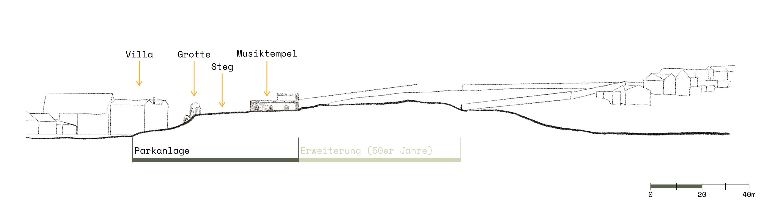
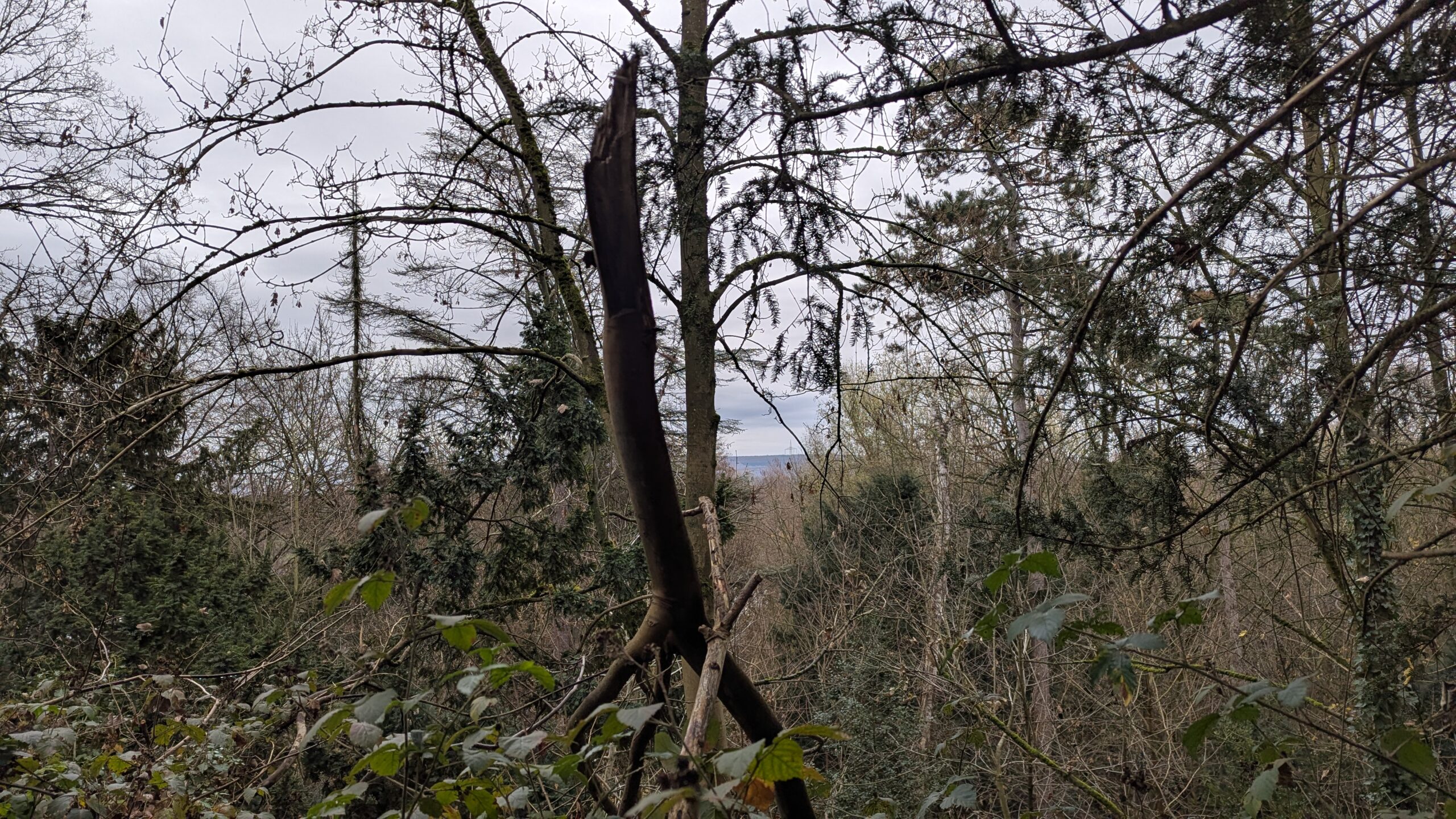
Elsewhere, too, the topography is used to strengthen connections. Facing the factory, the Music Temple offers the highest vantage point on the site. From here, one must have had a good panoramic view of the factory, the villa and the countryside in both directions.
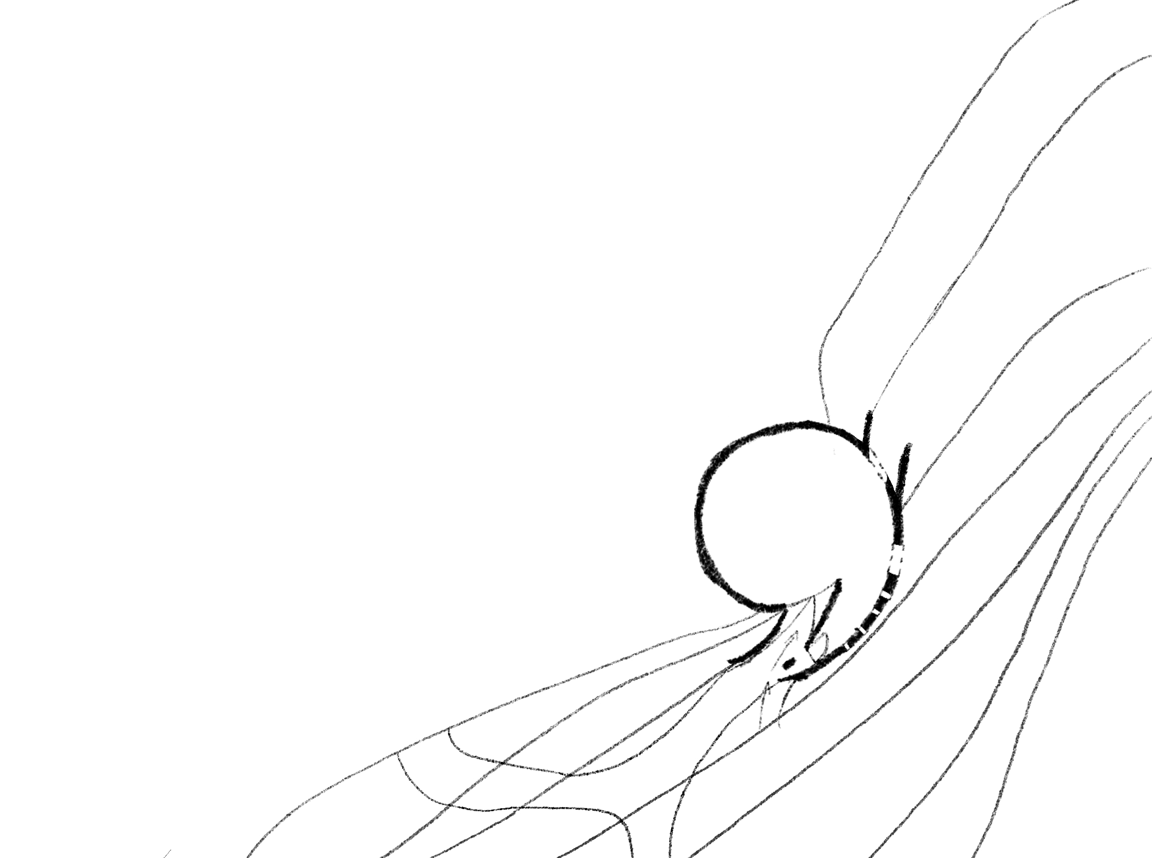
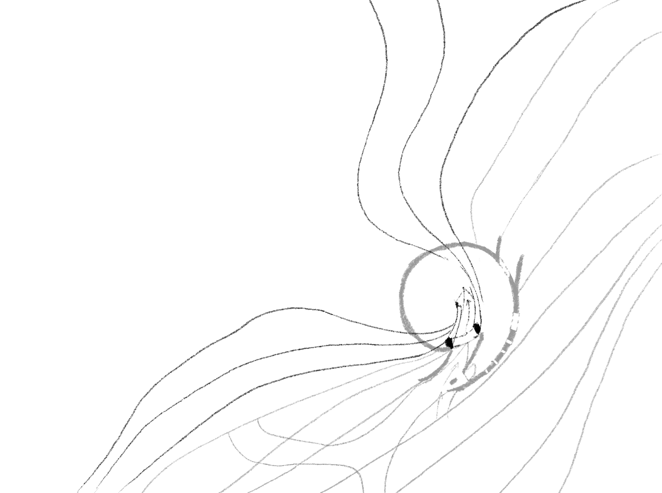
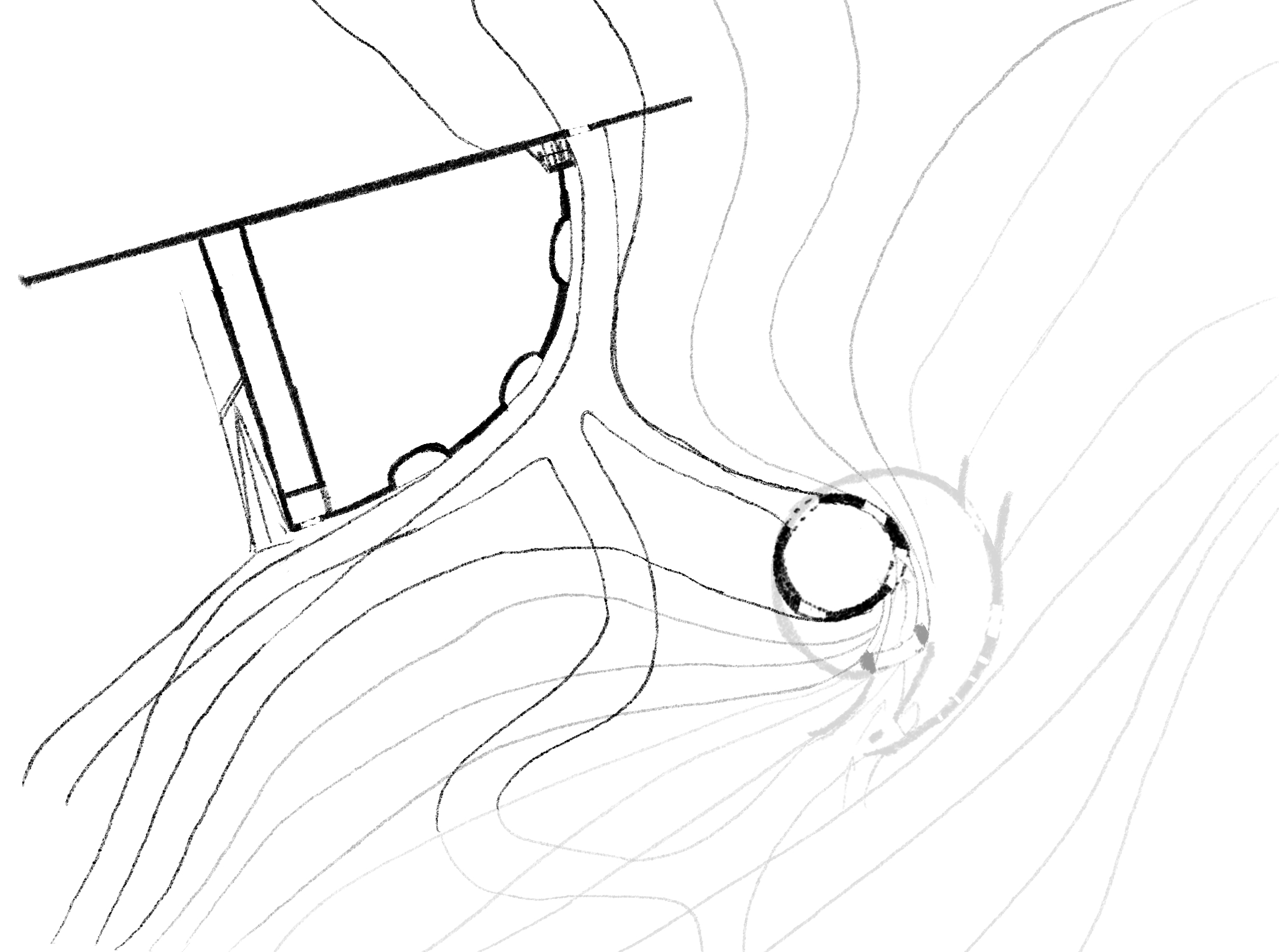
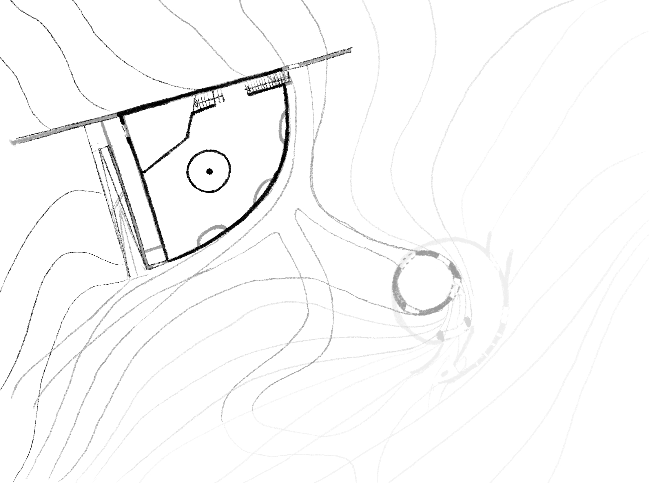
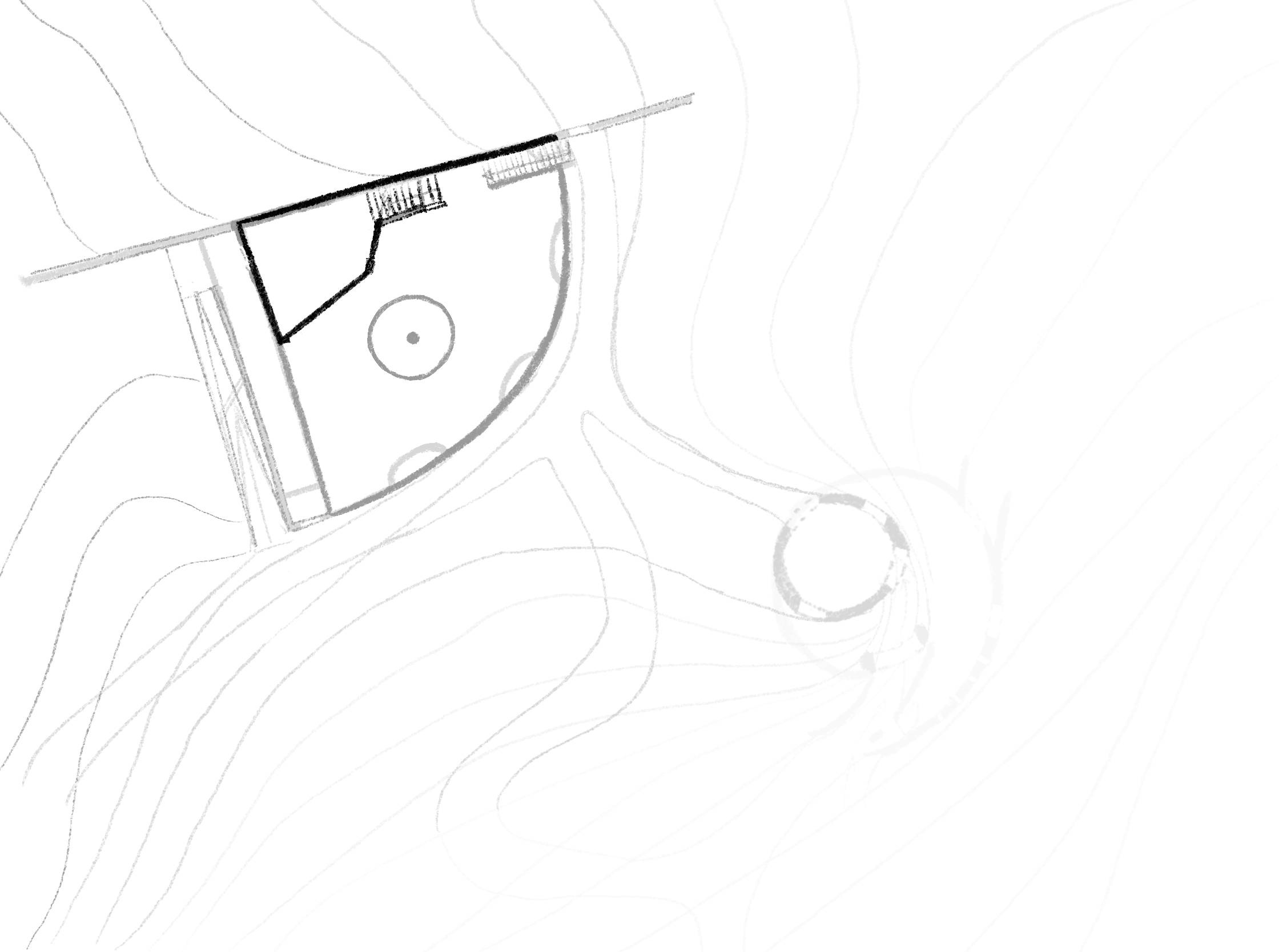
The grotto is connected to the ‘Temple of Music’ – which faces the factory – via a footbridge, much like a satellite. A direct link to the factory is also established from the grotto complex.
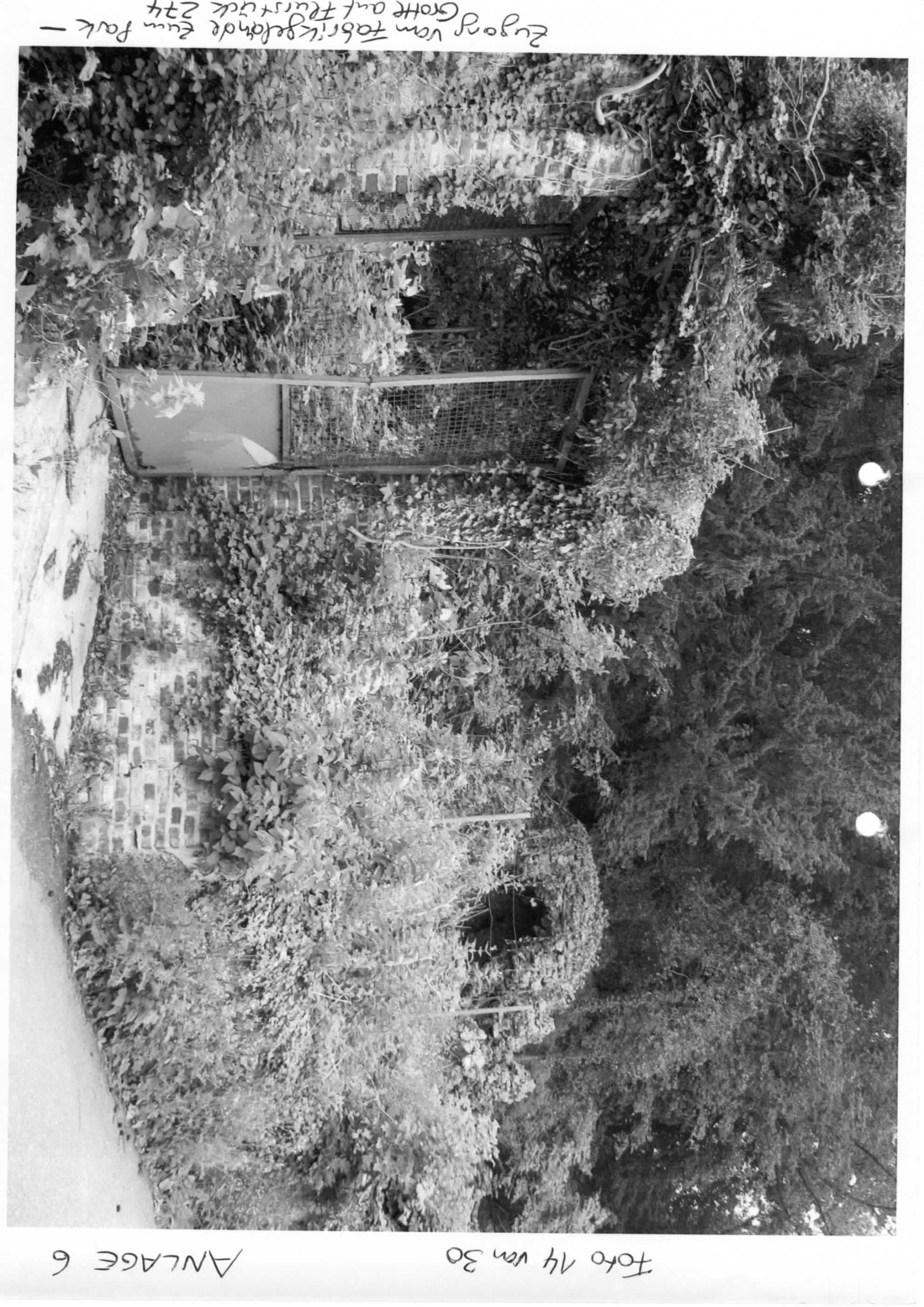
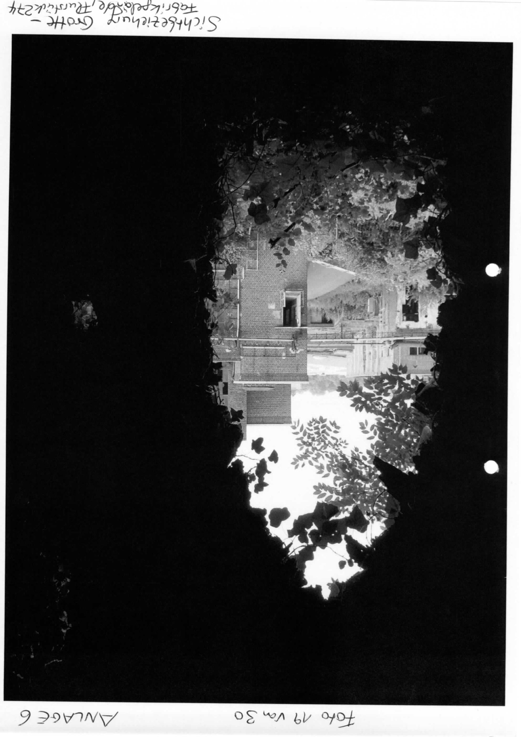
Photographs from the documentation for the listing as a historic monument show just how strong the connection auch 2011 noch between the grotto complex and the factory grounds still was in 2011. [9, 10] It is easy to imagine how, in the 20th century, business partners would first be invited to the villa, before being led through the grounds to the factory, stopping off at the grotto on the way.
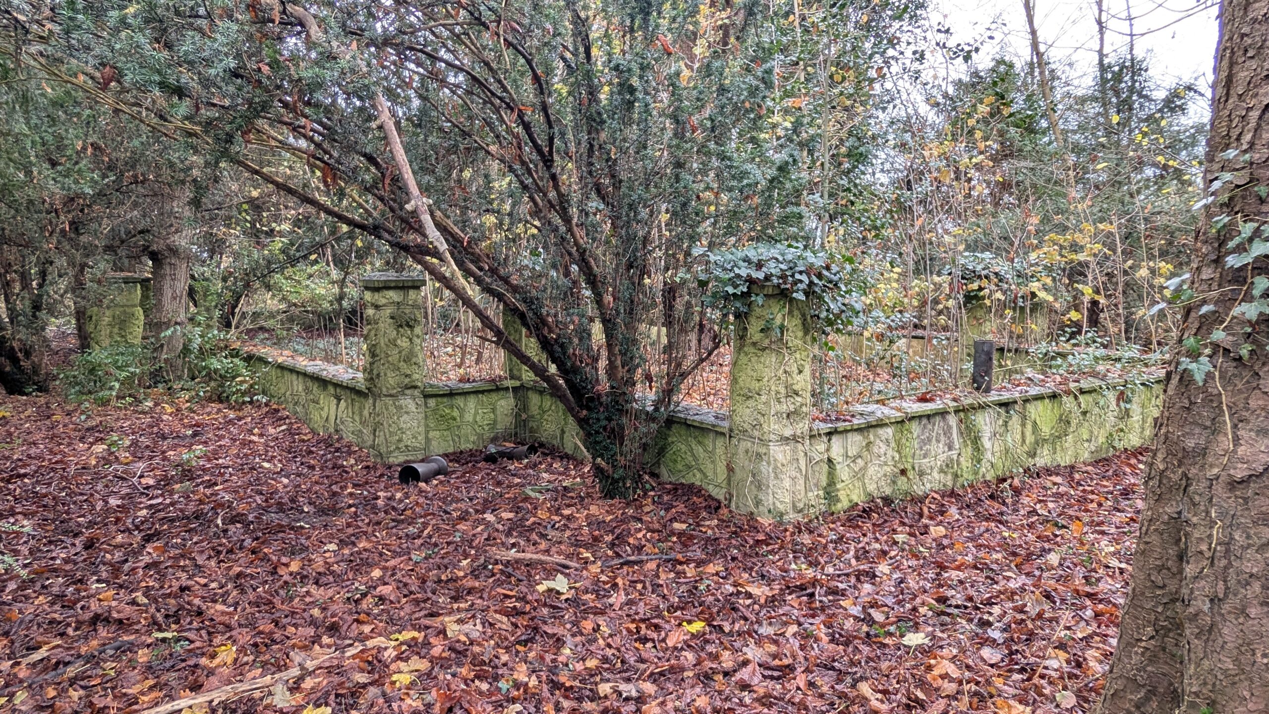
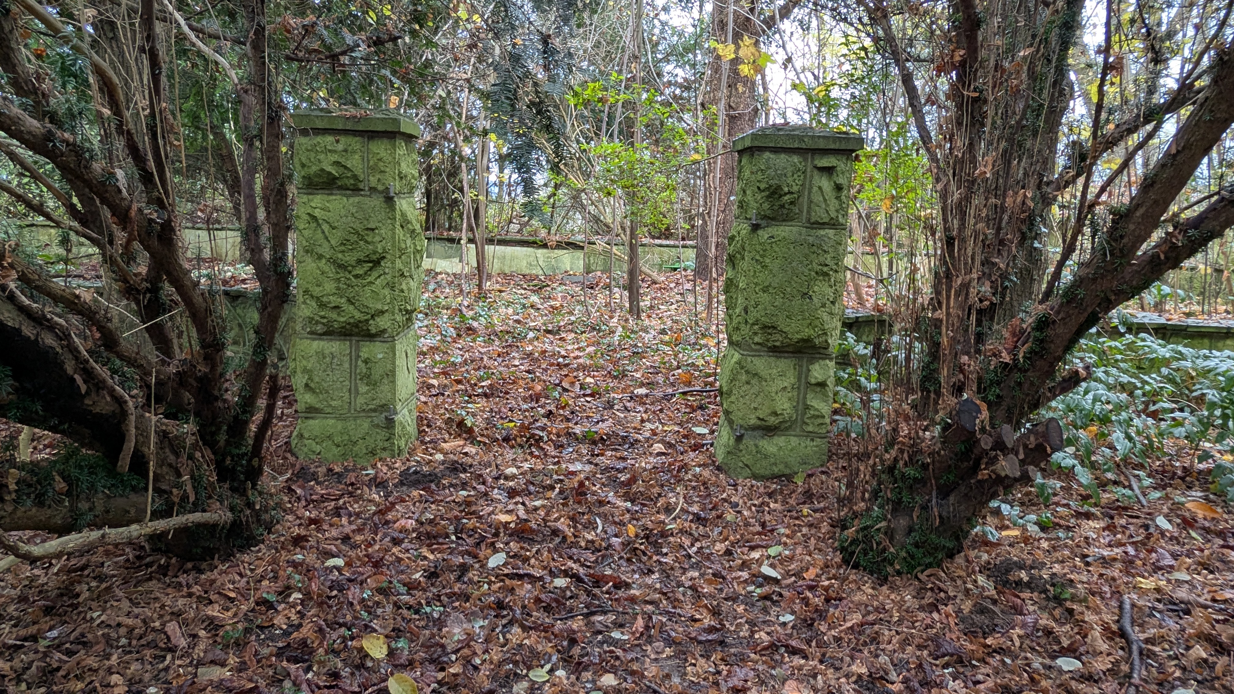
Today, this connection is no longer immediately apparent: the entrances have been bricked up and the views are overgrown. Nevertheless, it is clear that the complex comprising the grotto and the music temple must once have been an imposing structure. The music temple features a large, lower-lying terrace of approximately 220 m² with a large fountain, topped by a smaller terrace of approximately 35 m².
And that’s why the ensemble is so impressive!
The complex is impressive not only for its sheer size; the cohesive and harmonious design of the villa, its gardens and the park also demonstrate the builders’ desire to make a grand impression. The villa and its gardens formed a closely interlinked ensemble that followed the overarching principle of axial symmetry. The villa garden emphasised the villa’s prestigious character and formed a clear, formally structured transition to the park and the factory complex. In its original form, the park also established clear links to the villa and the factory. The design, which initially appears natural, is strongly defined by the central axis of symmetry: whilst the park is laid out in the style of an English landscape garden, it also draws on the overarching design principles of Baroque gardens.
[1] Hansa Luftbild AG, historisches Ortophoto 1956. Zugriff am: 5. Januar 2026. [Online]. Verfügbar unter: https://www.tim-online.nrw.de/tim-online2/
[2] HO31 18a Kirchberg, Gruß aus Kirchberg Kr Jülich Villa Eichhorn Villa Buth Wymarshof, Ansichtskarte, Ende 19. Jahrhundert, Stadtarchiv Jülich, Fotosammlung.
[3] Stadt Jülich Der Bürgermeister. Im Auftrag Cremer, Villa Eichhorn mit Garten und Parkanlage mit Friedhof, Liste: Baudenkmal, lfd. Nr. 57: Gemarkung Kirchberg, Flur 2, Flurstücke 1, 12, 14 242; Teil aus 274 (Bereich Grotte und Musiktempel).
[4] Kerstin Walter, LVR-Amt für Denkmalpflege im Rheinland, Villengarten mit Wasserbecken (ehem. Gartenparterre).
[5] Stadt Jülich, Stetternich, Kirchberg, Altenburg, Selgersdorf, Daubenrath: angefertigt aus 17 Blattausschnitten der Deutschen Grundkarte, Grundriß 1:5000. Stadtarchiv Jülich, D-46, 1954.
[6] R. Hombach, Landschaftsgärten im Rheinland: Die Erfassung des historischen Bestands und Studien zur Gartenkultur des „langen“ 19. Jahrhunderts (Zugl.: Köln, Univ., Diss., 2010) (Beiträge zu den Bau- und Kunstdenkmälern im Rheinland Bd. 37). Worms: Werner, 2010. [Online]. Verfügbar unter: https://swbplus.bsz-bw.de/bsz327133317rez.htm
[7] Hansa Luftbild, (10832) Kirchberg, Gauß-Krüger-Koordinaten: Rechtswert: 2524, Hochwert: 5640, Luftbild Kirchberg. Zugriff am: 5. Januar 2026. [Online]. Verfügbar unter: https://dfg-viewer.de/show/?tx_dlf[id]=https%3A%2F%2Fwww.landesarchiv-nrw.de%2Fdigitalisate%2FAbt_Rheinland%2FRW_0230%2F%7E108%2F10832%2Fmets.xml
[8] N. Losen, „Der Park der Villa Buth als Denkmal,“ in Villa Buth: Zwischenstation zum Holocaust (Veröffentlichungen des Jülicher Geschichtsvereins 1923 e.V. 22), T. Ohrndorf und I. Gedig, Hg., 2. Aufl. Ammianus Verlag, 2024.
[9] Kerstin Walter, LVR-Amt für Denkmalpflege im Rheinland, Zugang vom Fabrikgelände zum Park – Grotte auf Flurstück 274.
[10] Kerstin Walter, LVR-Amt für Denkmalpflege im Rheinland, Sichtbeziehung Grotte – Fabrikgelände, Flurstück 274.